I will create gis maps python coding geospatial analysis visualization autocad

J
jeromeher68
J
jeromeher68
Jerome
Certaines informations sont présentées en anglais.

À propos de ce service

I'm an Environmental Engineer having sound and conceptual knowledge in the field of my expertise.

The services provided by me are:

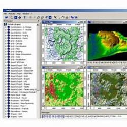
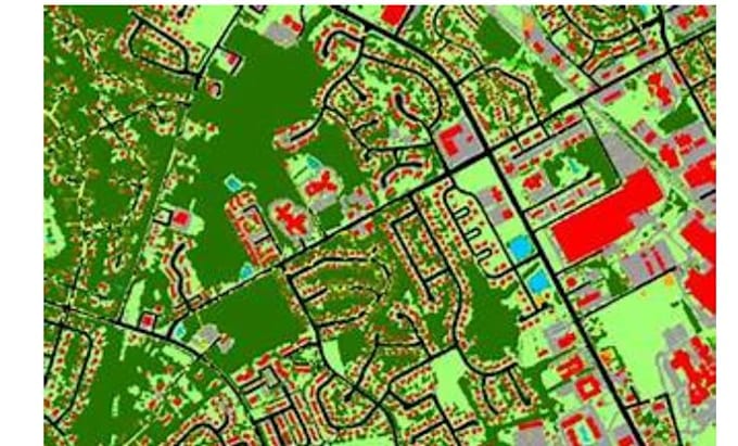
  1. Mapping in QGIS, Arc GIS
  2. Writing python script for GIS work or any data-related work.
  3. Raster Data Analysis
  4. Web Mapping
  5. Python coding for automating any task
  6. Python coding for extracting data from pdf


Tools I used:

  1. Arc GIS, QGIS (mapping, raster analysis)
  2. Python libraries:
  • GeoPandas (handling geospatial data in python)
  • Folium (Web Mapping)
  • Plotly
  • NumPy, Pandas etc.


Visualizations:

  1. Bubble map
  2. Choropleth map
  3. Heat Map
  4. Charts
  5. Scatter plot
  6. Doughnut graph
  7. Pie chart etc.


Please feel free to contact me.

Découvrez Jerome

Jerome

GIS World

  • DeÉtats-Unis
  • Membre depuisavr. 2026
  • Temps de réponse moy.1 heure
  • Langues

    Anglais
Welcome to my GIS world! I'm a seasoned GIS & Remote Sensing Expert with over 8 years of experience in delivering geospatial solutions for real-world needs. In 2022, I joined forces with Creative Carbon (USA) as part of one of the largest REDD+ climate projects in the world — CHACO VIVO (Paraguay). I’ve also contributed to major EU initiatives like Copernicus Coastal Zone LCLU or CEF-Spotted.eu. With over 200 projects delivered, I’ve built strong partnerships with companies from the United States, France or Australia. Let’s transform your geospatial challenges!

Autres services de Data visualisation I Offre