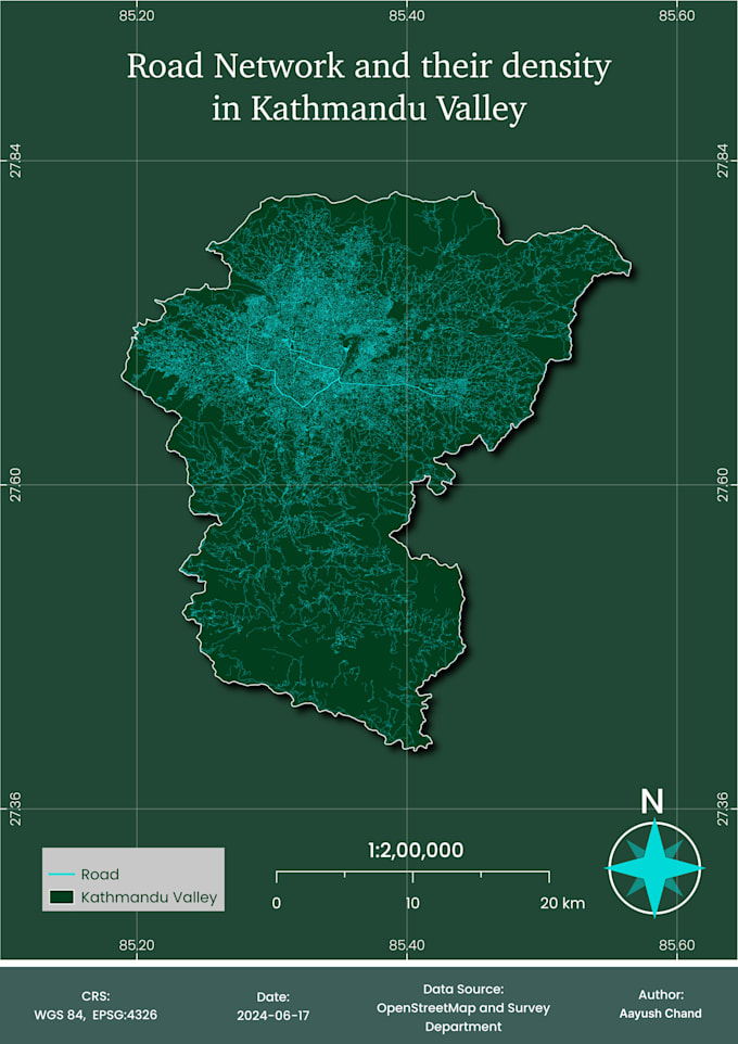
I will design professional and publication ready maps

A
aayushchand123
A
aayushchand123
Aayush C
Certaines informations sont présentées en anglais.

À propos de ce service

Need a clear, attractive, and professional map for a report, research paper, presentation, or publication?

I combine GIS knowledge and cartographic design to create maps that communicate geographic information effectively.

MY MAP DESIGN SERVICES INCLUDE

  • Thematic and choropleth maps
  • Population density and demographic maps
  • Environmental and land-use maps
  • Research and academic maps
  • Administrative and reference maps
  • Terrain and elevation maps
  • Statistical and data-driven maps
  • Report and presentation layouts
  • Legends, labels, scale bars, and coordinate grids
  • Custom map styling and visual hierarchy


I use QGIS and other suitable design tools to create maps with readable labels, balanced layouts, and appropriate geographic context.


DELIVERABLES

Depending on your package, I can provide high-resolution PNG or PDF exports and an editable QGIS project where agreed.


Please provide your dataset, intended audience, preferred dimensions, and any reference designs. If you need me to find or process the data, contact me before ordering.


My goal is to make your geographic information clear, accurate, and visually effective.

Découvrez Aayush C

Aayush C

Geospatial Analysis, Cartography, WebGIS

  • DeNépal
  • Membre depuisfévr. 2026
  • Temps de réponse moy.1 heure
  • Langues

    Népalais, Anglais, Hindi
I’m a Geomatics Engineering graduate and Geospatial Analyst who helps turn complex spatial data into clean, reliable datasets, clear analyses, and visually engaging maps. I work best with: • GIS & Spatial Analysis – QGIS, Python • Remote Sensing – Google Earth Engine and satellite data • Cartography & Map Design – modern, publication-ready maps • Geospatial ETL – data extraction, cleaning, transformation, and automation • OpenStreetMap & data quality improvement.

Mon portfolio