Certaines informations sont présentées en anglais.
À propos de moi
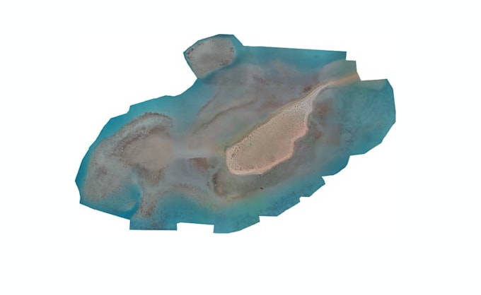
We are AGEOTS — a geospatial and remote sensing studio helping drone pilots, surveyors, engineers, and land developers turn raw aerial imagery into professional, survey-ready data products.
Behind every drone flight is a deadline and a need for data you can trust. We deliver exactly that — combining photogrammetry, GIS, and civil engineering expertise to produce accurate, professionally formatted outputs, every time.
📧 info@ageots.com
website: www.ageots.com... Plus d’infos