Parcourir les catégories
Explorer
Fiverr Pro
Français
$
USD


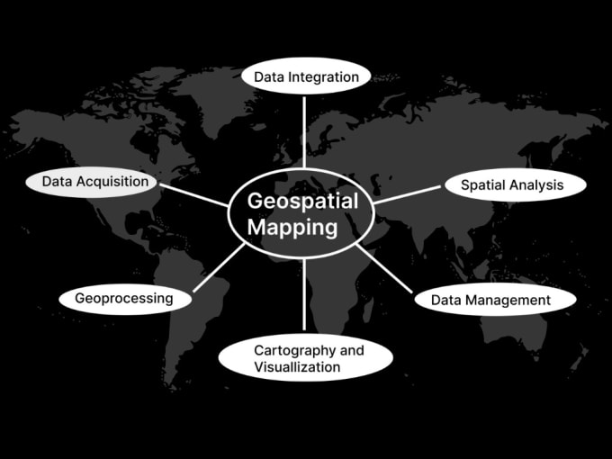
Looking for exceptional GIS mapping and remote sensing services? I'm a highly skilled GIS Consultant with a Master's Degree in Geographic Information Sciences and years of experiences. My expertise in leading softwares (like ArcGIS, ArcGIS Pro, ArcGIS Online, Google Earth Pro etc, allows me to handle any geospatial challenge. Comprehensive Services for Your Needs:
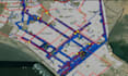
· Geo-Spatial Analysis, Data Analysis, Network Analysis, ArcGIS Geodatabase Management& Data Conversions.
· GIS Data Capturing using GPS Technology
· Vector, Raster & Story Maps: Engage your audience with interactive, narrative-driven maps. (Check out my recent story map here:https://storymaps.arcgis.com/stories/feb336f2e39e4adb8c0e4505c3a0dc88)
· Thematic and Choropleth Maps
· Location and Inventory Maps
· Topographic and Land Use Land Cover Maps
· Data Visualization and Time Series Analysis
· Hydrology, DEM, LIDAR & TIN
Contact me today to discuss your project! I believe in understanding your specific needs and crafting a tailored solution to bring your GIS mapping and remote sensing projects to life.
Don't wait, unlock the power of GIS for your project!
Veuillez informer le freelance de toute préférence ou préoccupation concernant l'utilisation d'outils d'IA dans la réalisation et/ou la livraison de votre commande.
GIS Specialist
Langues