Parcourir les catégories
Explorer
Fiverr Pro
Français
$
USD

GIS, Research, Design
Compétences
Voir mes services
GIS & Remote Sensing Analyst
Academic Project
Dec 2024 - Apr 2025 • 4 mos
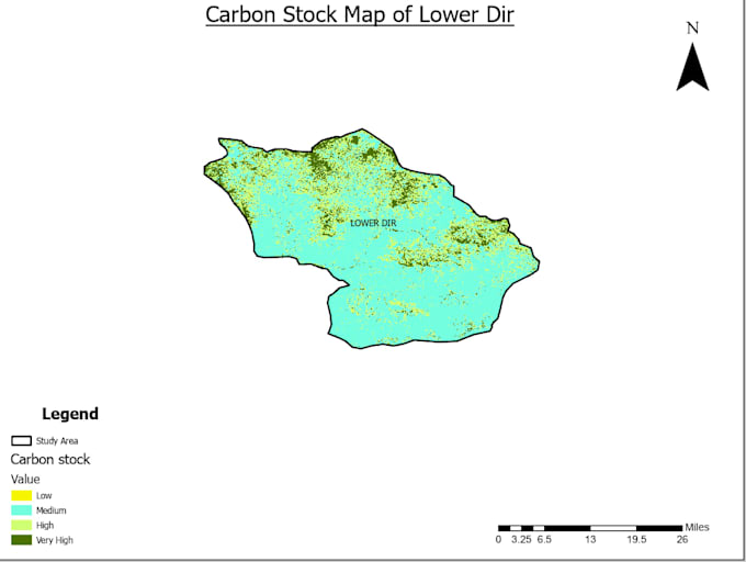
Worked on multiple GIS and remote sensing projects, including LULC mapping, NDVI change detection, fire hazard mapping, and solar installation suitability analysis. Responsibilities included processing satellite imagery, performing spatial analysis, generating high-resolution maps, and visualizing results for academic and practical purposes. Developed skills in ArcGIS, data analysis using R, and reporting, ensuring all outputs were accurate, visually clear, and suitable for decision-making in forestry, environmental management, and sustainability projects. Delivered projects on time while maintaining high professional standards and attention to detail.
