Parcourir les catégories
Explorer
Fiverr Pro
Français
$
USD

Traduction automatique
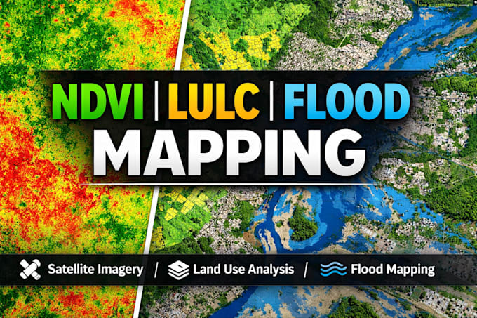
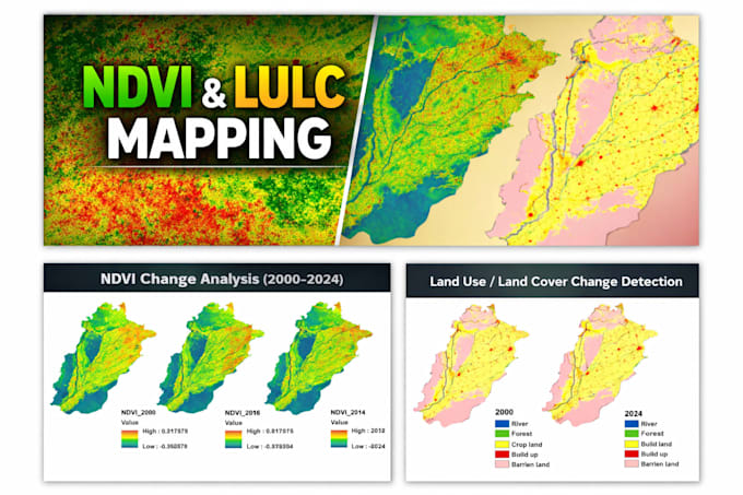
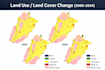
Analyse NDVI professionnelle, classification LULC et cartographie de la couverture terrestre à l’aide d’images satellite
Vous avez besoin d’une analyse NDVI précise, d’une classification LULC ou d’une cartographie de la couverture terrestre pour une recherche, une thèse ou un rapport environnemental ? Je fournis des résultats GIS précis, prêts à être publiés, en utilisant des outils et des flux de travail standards de l’industrie.
SERVICES :
- Analyse NDVI (indice de végétation) et cartographie en série temporelle
- Classification LULC (supervisée/non supervisée)
- Détection des changements de couverture terrestre sur plusieurs années
- Traitement satellite (Sentinel-2, Landsat 8/9, MODIS)
- Évaluation de la précision et matrice de confusion
- Mise en page cartographique prête à imprimer
️ OUTILS : ArcGIS Pro | QGIS | Google Earth Engine | ENVI
LIVRABLES : GeoTIFF, Shapefile, KML, cartes stylisées en PDF/PNG, rapport méthodologique
POURQUOI TRAVAILLER AVEC MOI :
- Plus de 5 ans d’expérience en GIS et télédétection
- Délai rapide et précis
- Communication claire à chaque étape
- Révisions mineures gratuites jusqu’à votre satisfaction
AVANT DE COMMANDER :
Envoyez-moi votre zone d’intérêt (shapefile/coordonnées), la source de données préférée et la période pour obtenir un devis précis.
Transformons vos données satellite en informations claires et exploitables.
GIS and Remote Sensing Expert, Flood and NDVI Mapping
Langues
Traduction automatique
Traduction automatique
Pouvez-vous travailler avec ma zone personnalisée ou mon shapefile ?
Oui, je peux travailler avec n'importe quelle zone d'intérêt ou données fournies.
Ces cartes conviennent-elles pour la recherche ou le travail académique ?
Oui, elles sont adaptées pour des rapports, des thèses et des publications.
Fournissez-vous des fichiers GIS modifiables ?
Oui, sur demande.