Certaines informations sont présentées en anglais.
À propos de moi
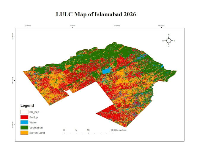
I am a GIS enthusiast specializing in map digitization and spatial data creation using ArcGIS. I help transform satellite images, scanned maps, and PDFs into accurate GIS layers and shapefiles for mapping and spatial analysis.
My services include map digitization, raster-to-vector conversion, georeferencing, and GIS data preparation. I focus on delivering well-organized, precise, and reliable spatial data according to client requirements.
I am committed to clear communication, timely delivery, and quality GIS work, ensuring that every project supports effective mapping and decision-making.
... Plus d’infos