Parcourir les catégories
Explorer
Fiverr Pro
Français
$
USD



Traduction automatique
Vous recherchez une numérisation GIS précise et une préparation professionnelle de cartes ?
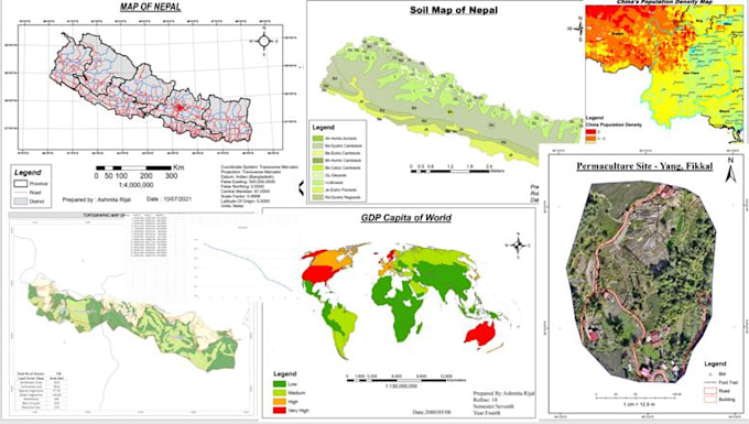
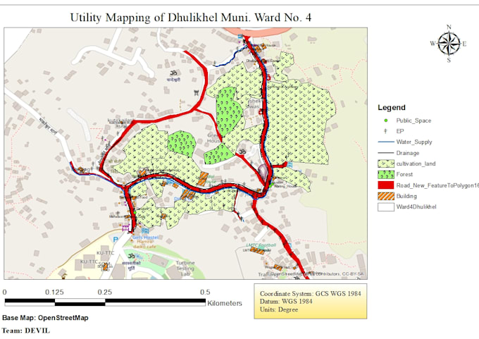
Bonjour, je suis Ashmita, ingénieure en géomatique spécialisée en GIS, télédétection et cartographie. Je numériserai des cartes à partir d’images satellites, de dessins scannés, de points donnés ou de Google Earth, et créerai des cartes propres, bien conçues, ainsi que des données spatiales prêtes pour l’analyse, les rapports, la recherche ou les présentations.
Je garantis la précision, une projection correcte, une topologie propre et une mise en page cartographique professionnelle.
Les services incluent :
Numérisation (points, lignes, polygones)
Conception de mise en page de cartes
Cartes thématiques
Création de shapefile, GeoJSON, KML
Sorties PDF/PNG/JPEG
Geomatics Engineer
Langues
Traduction automatique