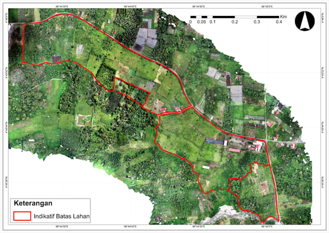
I will create professional GIS maps and digitize spatial data
Indonésie
Anglais
Certaines informations sont présentées en anglais.
À propos de moi
I am a GIS and Remote Sensing freelancer with practical experience in UAV/drone mapping, orthomosaic processing, field surveying, and spatial data analysis. I use ArcGIS Pro, QGIS, Agisoft Metashape, and Python/ArcPy to create accurate maps and geospatial outputs. My services include boundary mapping, agricultural mapping, GPS data processing, thematic mapping, and RGB vegetation-index analysis using VARI, ExG, and RGBVI. I deliver clear, reliable, and professional results for agriculture, land administration, and research projects.... Plus d’infos