Parcourir les catégories
Français
$
USD
Connectez votre assistant IA à Fiverr

Geospatial Analyst
Compétences
Voir mes services

Sales representative
Instagram • Temps plein
Oct 2024 - Oct 2026 • 2 yrs
· Visited customer sites to identify pain points and business opportunities; generated leads from visits and walk-ins · Installed product samples and demonstrations (glass, roofing sheets, waterproofing, paint solutions) at customer sites · Explained product features, benefits and cost-savings to help customers make informed purchase decisions · Handled objections and customer concerns, and organized orders to ensure safe, timely delivery
Graduate Trainee — Geospatial Engineer
Tylers Geotechnologies Ltd · Kanisa Road, Nyeri
Apr 2024 - Sep 2024 • 5 mos
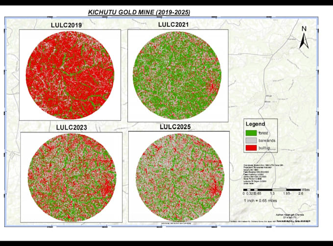
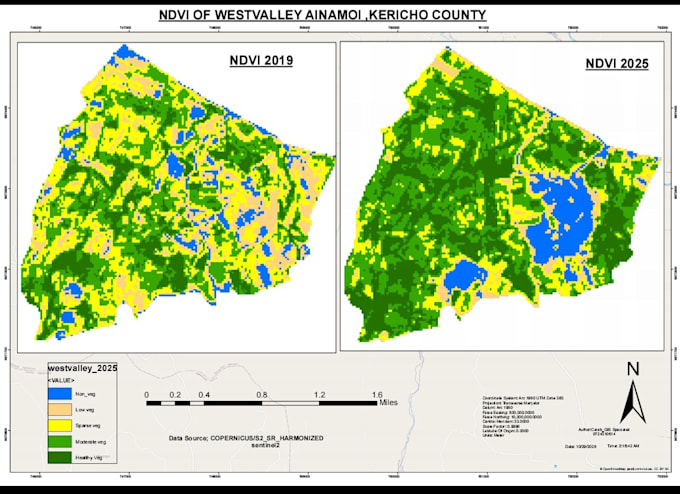
· Conducted field measurements and collected accurate spatial information using GPS/GNSS, Total Station and other modern surveying equipment · Processed, analyzed and presented spatial data; prepared technical reports, drawings and survey plans · Produced and interpreted maps and extracted geographic information from satellite imagery · Collaborated with survey teams, engineers, clients and other stakeholders on geospatial deliverables
