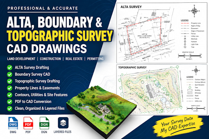
create ALTA boundary topographic survey CAD drawings
États-Unis
Anglais
Certaines informations sont présentées en anglais.
À propos de moi
I provide professional CAD drafting services for ALTA, boundary, and topographic surveys. I create accurate, clean, and well-organized survey drawings from field data, survey notes, point files, PDFs, sketches, and existing documents. My services support surveyors, civil engineers, architects, contractors, developers, and property owners who need reliable CAD documentation. I focus on precision, clear presentation, proper layer organization, and project requirements. Send your survey data and specifications, and I’ll deliver professional CAD drawings ready for review and project use.... Plus d’infos