Certaines informations sont présentées en anglais.
À propos de moi
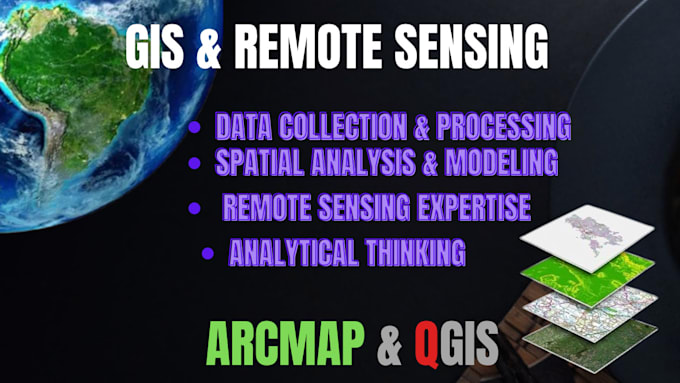
I am a GIS expert with extensive experience in spatial data analysis, map creation, and geospatial modeling. My expertise includes working with various GIS software such as ArcGIS, QGIS, and others to visualize, analyze, and interpret complex geographical data. I have a strong foundation in cartography, remote sensing, and geospatial database management, enabling me to provide actionable insights for decision-making and problem-solving across industries. My skills also extend to programming and automation using tools like Python and ArcPy, enhancing workflow efficiency and precision in data ... Plus d’infos