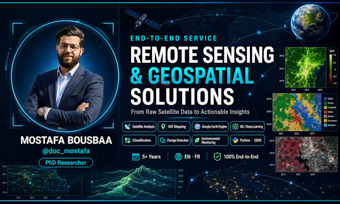
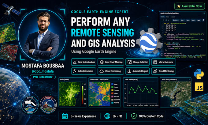
PhD Researcher in Remote Sensing, GIS and Geospatial AI
Maroc
Anglais, Arabe
Certaines informations sont présentées en anglais.
À propos de moi
PhD researcher in Remote Sensing, hydrology & Geoinformatics with 5+ years of experience turning satellite data into actionable insights.
I specialize in:
🛰️ Satellite image analysis (Sentinel-2, Landsat, MODIS)
🌍 Google Earth Engine scripting & app development
🤖 Machine & Deep Learning for geospatial data
🗺️ GIS mapping & spatial analysis (ArcGIS, QGIS, Python)
💧 Environmental & natural resource monitoring
I deliver clean, reproducible, publication-ready results in English and French.
Let's turn your spatial data into solutions — message me!... Plus d’infos