Je créerai des cartes GIS professionnelles et des analyses de télédétection à l'aide de QGIS et GEE
D
D
Dylan Mauga
Certaines informations ont été traduites automatiquement.
Plein écran
Plein écran
Plein écran
À propos de ce service
Traduction automatique
Vous cherchez une carte claire et précise ou une analyse d’images satellites ? Je suis spécialiste GIS au Kenya. Je transforme vos données en cartes professionnelles et en insights en utilisant QGIS et Google Earth Engine.
Outil
qgis
Découvrez Dylan Mauga
Dylan Mauga
GIS Specialist QGIS Mapping
DeKenya
Membre depuisnov. 2026
Langues
Swahili, Anglais
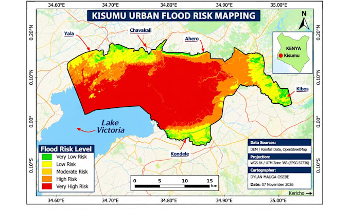
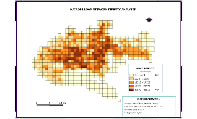
I'm a GIS specialist from Kenya with about a year of hands-on experience in map making, georeferencing, digitizing, spatial analysis, and cleaning messy spatial data. I work with NDVI, SAVI, DEM analysis, and land use/land cover (LULC) change detection. Projects include Nairobi road network density analysis, Nairobi LULC change comparison over the years, Kisumu flood risk mapping, and healthcare facility mapping. Tools: QGIS, Google Earth Engine, FreeCAD. I deliver clear, accurate work and communicate quickly.