Certaines informations sont présentées en anglais.
À propos de moi
Hi! I'm José, a Geoinformatics Specialist focused on spatial analysis and remote sensing to solve real-world problems. What I offer:
GIS & Cartography: Advanced data mapping and spatial patterns modeling using ArcGIS Pro, ArcMap, and QGIS.
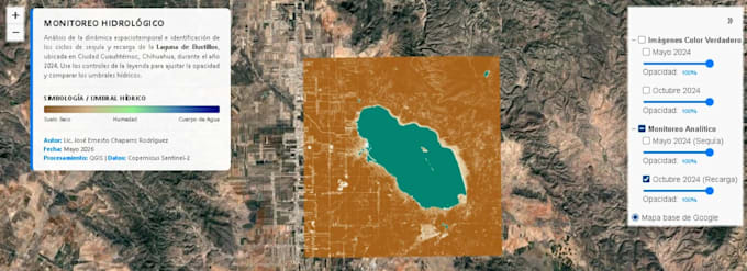
Remote Sensing: Vegetation and water resource monitoring using spectral indices like NDWI, MNDWI, SAVI, and EVI.
Data Analysis: Structuring and automating geographic data with Python, SQL, AutoCAD and Excel.
Let's transform your complex data into professional visual results for effective decision-making. Available in English & Spanish!... Plus d’infos