Certaines informations sont présentées en anglais.
À propos de moi
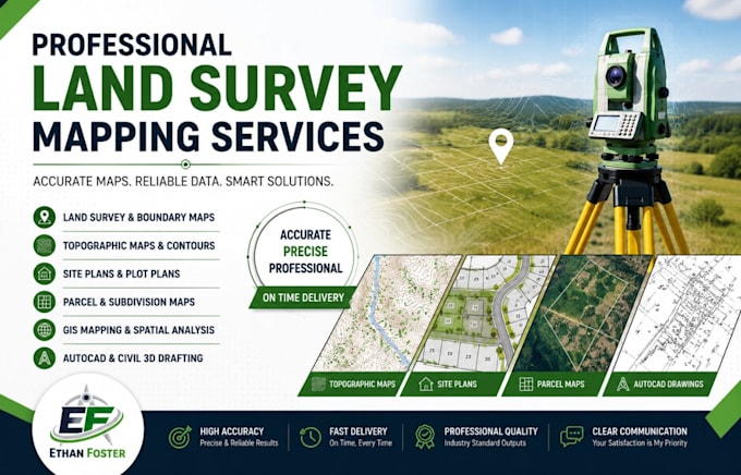
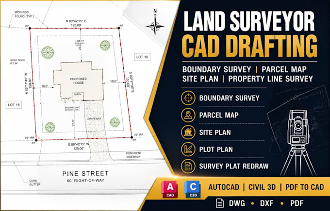
Hello, I'm a Land Survey Mapping and GIS Specialist with expertise in creating accurate survey drawings, property boundary maps, topographic maps, site plans, and GIS-based solutions.
I specialize in AutoCAD, Civil 3D, ArcGIS, and QGIS to deliver professional mapping and drafting services for surveyors, engineers, architects, developers, and property owners.... Plus d’infos