f
fattahjamil

Fattah Jamil

@fattahjamil
4,8(24)

Level 1

GIS ANALYST

Pakistan
Anglais, Ourdou
Certaines informations sont présentées en anglais.
À propos de moi
Hi! I’m Fattah Jamil, a GIS Analyst and Cartographer specializing in GIS mapping, drone photogrammetry, and geospatial data processing. I work with ArcGIS, QGIS, Pix4D, Global Mapper, and Google Earth Pro. My services include orthomosaics, DSM/DTM, point clouds, contour mapping, GIS analysis, KML/KMZ, property mapping, and custom geospatial solutions. I focus on accurate, organized, and professional deliverables tailored to each client’s requirements.... Plus d’infos

Compétences

f
fattahjamil
Fattah Jamil
30 $US/heure
hors ligne • 
Temps de réponse moyen de 2 heures

Voir mes services

Système d'information géographique (SIG)
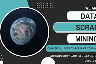
I will google earth file kml and kmz with your data
4,7(17)
Système d'information géographique (SIG)
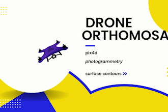
I will process drone images ortho mosaic dsm dtm and 3d mapping
5,0(3)

Vous souhaitez travailler sur une base horaire ?

Dites à Fattah Jamil ce dont vous avez besoin.

30 $US

/

heure

Portfolio

24 Avis
4,8

(23)
(0)
(1)
(0)
(0)
Détails de la notation
  • Niveau de communication avec le freelance
    4,8
  • Qualité de la livraison
    4,8
  • Valeur de la livraison
    4,8
1 à 5 avis sur 24
Trier par
Les plus pertinents