Parcourir les catégories
Explorer
Fiverr Pro
Français
$
USD

Full Stack GIS Developer
Compétences
Voir mes services
Sr. Full Stack GIS Developer
Land Information & Management System • Temps plein
Jul 2023 - Mar 2025 • 1 yr 8 mos
• Led end-to-end development of a national flood monitoring dashboard tracking 41 barrages, enabling real-time visibility and improving emergency response coordination time. • Architected and deployed scalable GIS infrastructure using React, React Native, Django, GeoServer, and PostGIS, supporting concurrent users without performance degradation. • Automated satellite data processing workflows, reducing manual analysis time by over 60% and accelerating reporting cycles. • Designed and launched a GIS-based mobile application for field operations, improving on-ground data collection efficiency and reducing reporting delays. • Built precision agriculture monitoring systems integrating remote sensing data, enabling data-driven farm management decisions. • Optimized spatial database performance through indexing and query tuning, reducing heavy geospatial query response time significantly. • Managed and mentored a development team, streamlining sprint workflows and improving feature delivery consistency.
| (1) | ||
| (0) | ||
| (0) | ||
| (0) | ||
| (0) |
blackbird171

États-Unis
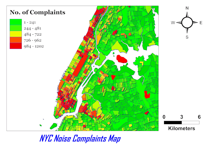
Furqan Maqbool is an AMAZING Developer who truly excels in Data Visualization. His professionalism and attention to detail exceeded our expectations, and he went above and beyond to accommodate our specific mapping needs with quick responsiveness. Highly recommend for any mapping projects! 👏
