Je ferai une analyse spatiale GIS, NDVI, LULC et cartographie thématique, etc

G
gis_expertbijon
G
gis_expertbijon
Bijon Ghosh
Certaines informations ont été traduites automatiquement.

À propos de ce service

Traduction automatique

Vous recherchez une cartographie GIS précise et une analyse spatiale ?

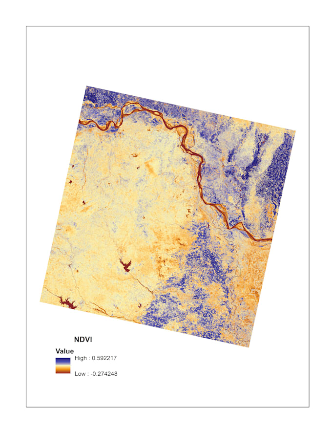
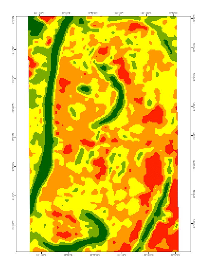
Je suis un analyste GIS et télédétection expérimenté, avec une maîtrise d’ArcGIS et QGIS. Je me spécialise dans la numérisation de cartes, la cartographie thématique et l’analyse d’images satellites. Je vous aiderai à convertir vos données en cartes GIS professionnelles de haute qualité.


Mes services :

  • Numérisation de cartes (point, ligne, polygone)
  • Cartographie thématique (LULC, NDVI, sol, utilisation des terres)
  • Analyse spatiale avec ArcGIS
  • Traitement d’images satellites
  • Mise en page de cartes de haute qualité (PDF, PNG, JPEG)

Pourquoi me choisir ?

  • Travail précis et professionnel
  • Livraison à temps
  • Résultat en haute résolution
  • Communication conviviale

Formats de sortie :

  • Shapefile
  • PDF / PNG / JPEG

Veuillez me contacter avant de passer commande pour une meilleure compréhension.

Découvrez Bijon Ghosh

Bijon Ghosh

GIS Mapping Spatial Analysis Specialist

  • DeInde
  • Membre depuismars 2026
  • Temps de réponse moy.1 heure
  • Langues

    Hindi, Anglais
Hello, I am a GIS and Remote Sensing analyst from India with practical experience in ArcGIS, QGIS, and ERDAS Imagine. I specialize in geospatial analysis and satellite data processing. I can help you with: ✔️ GIS mapping and cartography ✔️ Spatial analysis ✔️ Land Use / Land Cover (LULC) classification ✔️ Satellite image processing ✔️ Shapefile creation and editing ✔️ NDVI, NDWI, NDBI and other spectral indices ✔️ Land Surface Temperature (LST) analysis I focus on accuracy, quality work, and fast delivery. Feel free to contact me before placing an order.

Traduction automatique

Mon portfolio

Balises associées