h
hvxaifa

Huzaifa

@hvxaifa

Satellite and Aerial Imagery Annotation Specialist

Pakistan
Anglais
Certaines informations sont présentées en anglais.
À propos de moi
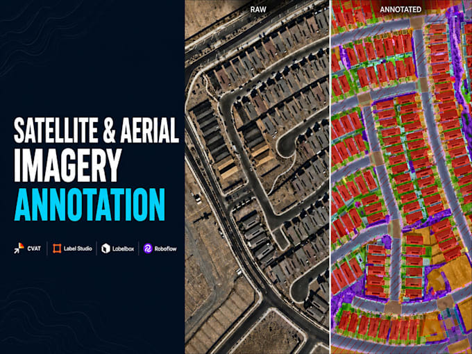
I'm a Satellite and aerial imagery annotation with a QA Checker's eye. I've labeled across up to 186 object classes in production work and maintain a 100% quality track record, catching errors before they reach ML pipelines. I work primarily in CVAT. I'm also comfortable adapting to proprietary or custom annotation platforms. Need both annotation and quality control handled together? I audit for boundary accuracy, misclassifications, and tile-to-tile consistency as part of the same process, not a separate add-on service.... Plus d’infos

Compétences

h
hvxaifa
Huzaifa
hors ligne • 
Temps de réponse moyen de 1 heure

Voir mes services

Annotation des Data
I will annotate satellite and aerial imagery using cvat

Portfolio

Expérience professionnelle

DATA

AI Data Annotation and QA Specialist

DATA • Temps partiel

Oct 2025 - Present10 mos

Annotate high resolution satellite imagery using GIS platforms, mapping roads, buildings, driveways, sidewalks, parking areas, and vegetation through polygon labeling across 186 object classes. Work as QA Checker auditing completed tasks, correcting boundary errors, and ensuring tile to tile consistency. Maintain 100% quality track record under strict time benchmarks (10 min/task).