Parcourir les catégories
Explorer
Fiverr Pro
Français
$
USD

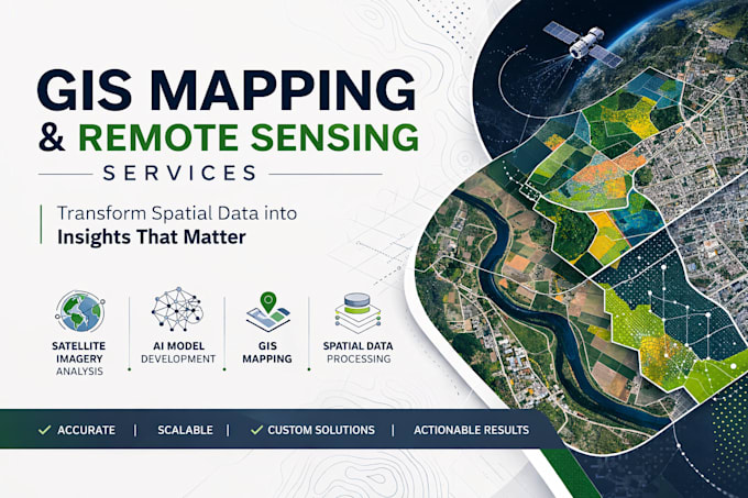
GeoAI Developer
Compétences
Voir mes services
GeoAI Developer
AXO Geospatial Intelligence Services Ltd • Freelance
Feb 2025 - Present • 1 yr 3 mos
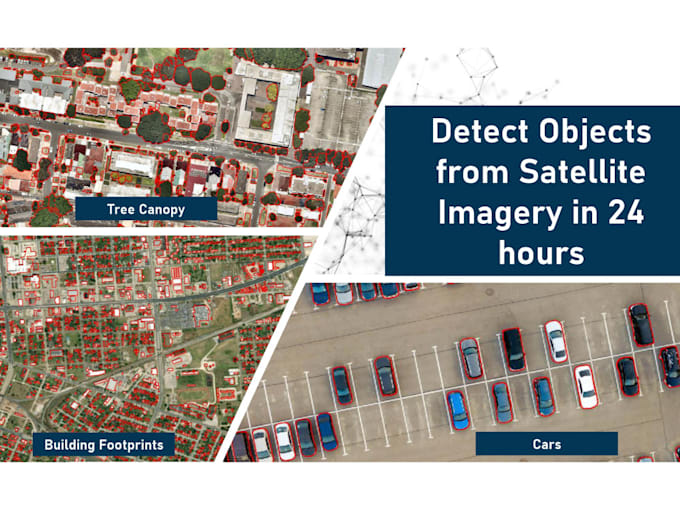
Supervising and Development of all the GeoAI products in the business
