Parcourir les catégories
Explorer
Fiverr Pro
Français
$
USD
Level 1




États-Unis
Hassan truly EXCEEDED expectations with his attention to detail and professionalism in data visualization. Working with him was a breeze, thanks to his proactive...
États-Unis
Hassan does a great job delivering on what he promises. Very quick and polite response time and he knows what he is doing. I would recommend his work to anyone interested in GIS. 10/10.

Émirats Arabes Unis
Hassan delivered exceptional GIS work with precision and expertise. His ability to handle complex tasks like profile graphs, 3D symbology, and visibility analysis...

Royaume-Uni
Hassan did a great job of completing my very large and complex task on schedule. He took into account many different factors and exceeded my expectations. I would recommend.
États-Unis
He knows what he does at best, understands the assignment, and is very fair with the prices. hire him and you won't regret it. fantastic job!
Traduction automatique
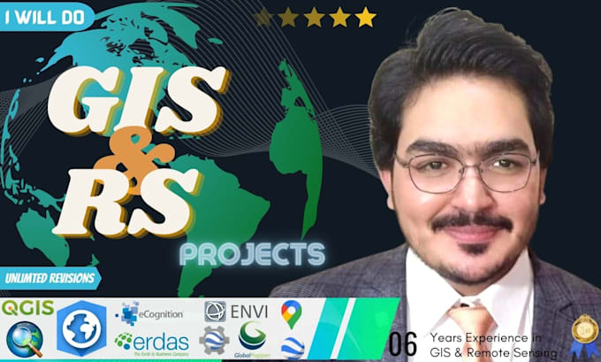
Je suis spécialiste en SIG et télédétection avec plus de 9 ans d’expérience dans l’analyse spatiale, l’imagerie satellite et la cartographie SIG dans les secteurs minier, gouvernemental et environnemental.
Je propose des solutions avec ArcGIS Pro, QGIS, Google Earth Engine, Python, ENVI et ERDAS. Mon expertise couvre la cartographie cadastrale minière, la survey par drone, la classification d’images et la production cartographique.
Services que je propose
- Analyse spatiale et modélisation
- Télédétection et traitement d’images
- Analyse de l’utilisation des sols / couverture du sol (LULC)
- Étude de la compatibilité des sites et analyse multicritère
- Cartographie cadastrale minière et ressources
- Classification d’images (supervisée / non supervisée / OBIA)
- Analyse des zones inondables, de danger et de risque
- Analyse hydrologique et de bassin versant
- Traitement d’images par drone et cartographie aérienne
- Script Google Earth Engine (GEE)
- Conception et gestion de bases de données géospatiales
- Conception et visualisation de cartes cartographiques
- Automatisation SIG basée sur Python
Pourquoi me choisir ?
- Diplômé en géomatique, médaille d’or
- Certifié par l’UN University (GEE et Big Data)
- Formateur certifié en SIG
- Satisfaction client garantie à 100 %
Contactez-moi avant de passer commande.
Cordialement, Iqbal Hassan
GIS Remote Sensing Specialist with 9 Years
Level 1
Langues
Traduction automatique
| (212) | ||
| (13) | ||
| (0) | ||
| (0) | ||
| (0) |
maya_caeli

Allemagne
I´m really happy with the results, he´s working really precise and everything looks perfekt!
7 jours
Durée
maya_caeli
Allemagne
I´m really happy with the results, great work!!!
3 jours
Durée
maya_caeli
Allemagne
Really happy with the results, thanks a lot!:)
6 jours
Durée
Réponse du freelance

pasiya00

Sri Lanka
⭐⭐⭐⭐⭐ Excellent experience working with Hassan. He was professional, responsive, and kept me updated throughout the project. He successfully completed my project, including the maps, spatial analysis, graphs, and report, and was always willing to answer questions and provide progress screenshots. The...
4 jours
Durée
Réponse du freelance
maya_caeli
Allemagne
Great Work, really happy with the results!
4 jours
Durée
Réponse du freelance
| (212) | ||
| (13) | ||
| (0) | ||
| (0) | ||
| (0) |
maya_caeli
Allemagne
I´m really happy with the results, he´s working really precise and everything looks perfekt!
7 jours
Durée
maya_caeli
Allemagne
I´m really happy with the results, great work!!!
3 jours
Durée
maya_caeli
Allemagne
Really happy with the results, thanks a lot!:)
6 jours
Durée
Réponse du freelance
pasiya00
Sri Lanka
⭐⭐⭐⭐⭐ Excellent experience working with Hassan. He was professional, responsive, and kept me updated throughout the project. He successfully completed my project, including the maps, spatial analysis, graphs, and report, and was always willing to answer questions and provide progress screenshots. The...
4 jours
Durée
Réponse du freelance
maya_caeli
Allemagne
Great Work, really happy with the results!
4 jours
Durée
Réponse du freelance