Certaines informations sont présentées en anglais.
À propos de moi
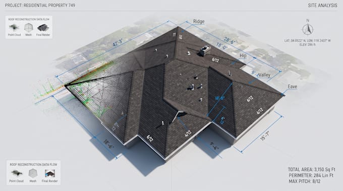
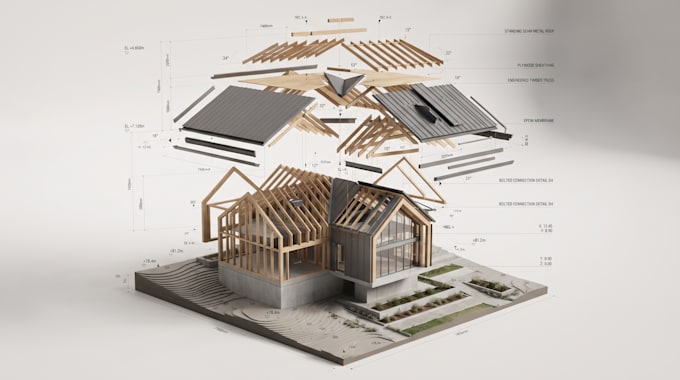
I specialize in developing advanced geospatial and 3D reconstruction solutions for roofing, surveying, construction, and mapping workflows. I work with aerial imagery, LiDAR, elevation data, and point clouds to transform real-world environments into accurate, usable 3D data.
I focus on accuracy, automation, scalability, and clean integration with existing software and workflows.... Plus d’infos