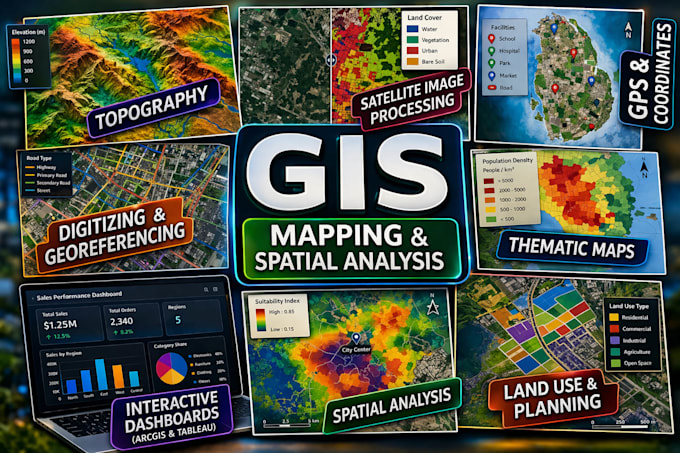
GIS Specialist ArcGIS QGIS Spatial Analysis and Interactive Mapping
États-Unis
Anglais
Certaines informations sont présentées en anglais.
À propos de moi
I am a professional GIS specialist with solid experience in spatial data analysis, digital mapping, and data visualization. I use ArcGIS, ArcMap, QGIS, and Tableau to produce accurate, detailed, and visually organized maps for research and planning . My services include georeferencing, digitizing, thematic mapping, and creating interactive dashboards that transform complex spatial data into clear, useful insights. I am committed to delivering high-quality work, maintaining clear communication, and providing dependable support to ensure every project meets strong professional standards.... Plus d’infos