Je vais configurer et connecter Claude avec QGIS MCP

J
jmlazg
J
jmlazg
Geosense
Certaines informations ont été traduites automatiquement.

À propos de ce service

Traduction automatique

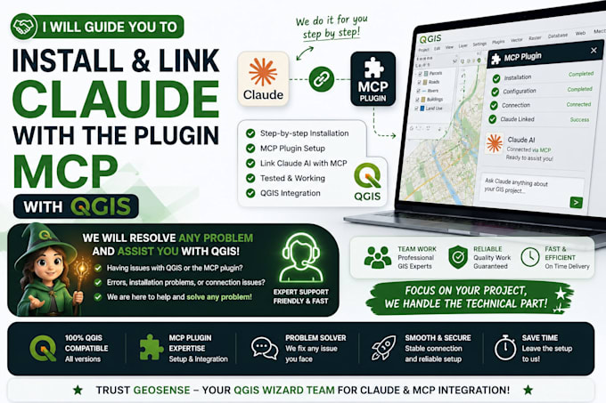
Intégration de Claude avec QGIS MCP

Vous avez besoin d’aide pour connecter Claude avec QGIS en utilisant MCP ?

Je vais installer, configurer et connecter Claude avec QGIS MCP afin que vous puissiez interagir plus efficacement avec votre environnement QGIS.

Ce que je peux faire pour vous

  • Installer et configurer la configuration MCP requise
  • Connecter Claude avec QGIS
  • Configurer la connexion MCP
  • Tester l’intégration
  • Dépanner les problèmes de configuration et de connexion
  • Aider à automatiser les tâches QGIS avec Python et PyQGIS

Forfaits

Basique : Installation de Claude et QGIS MCP et configuration de base.

Standard : Connexion complète, configuration et tests d’intégration.

Premium : Configuration complète, dépannage, tests et code source si applicable.

Veuillez me contacter avant de commander si vous avez un problème spécifique avec QGIS, Claude ou MCP. Je examinerai vos besoins et recommanderai le forfait adapté.

Découvrez Geosense

Geosense

Everything for GIS

  • DeMaroc
  • Membre depuisjuin 2026
  • Temps de réponse moy.1 heure
  • Langues

    Anglais, Allemand
GeoSense is a geospatial solutions studio specializing in GIS, remote sensing, Web GIS, spatial analysis, and custom mapping. We transform geographic data into actionable insights using QGIS, ArcGIS, GeoServer, PostGIS, Google Earth Engine, Python, and modern web technologies. Our services include GIS mapping, web mapping applications, satellite imagery analysis, geospatial automation, interactive dashboards, and AI-powered geospatial solutions. GeoSense ---------------------------------- — Everything for GIS--------------------------------------------------.

Traduction automatique

Balises associées