Parcourir les catégories
Explorer
Fiverr Pro
Français
$
USD

Level 2
Compétences
Voir mes services
Vous souhaitez travailler sur une base horaire ?
Dites à Kashif Ali ce dont vous avez besoin.
30 $US
/
heureGis developer
MAP • Freelance
Mar 2025 - May 2026 • 1 yr 2 mos
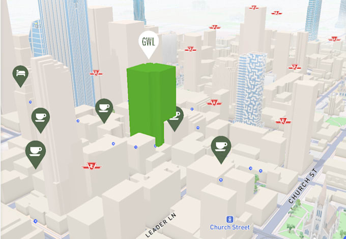
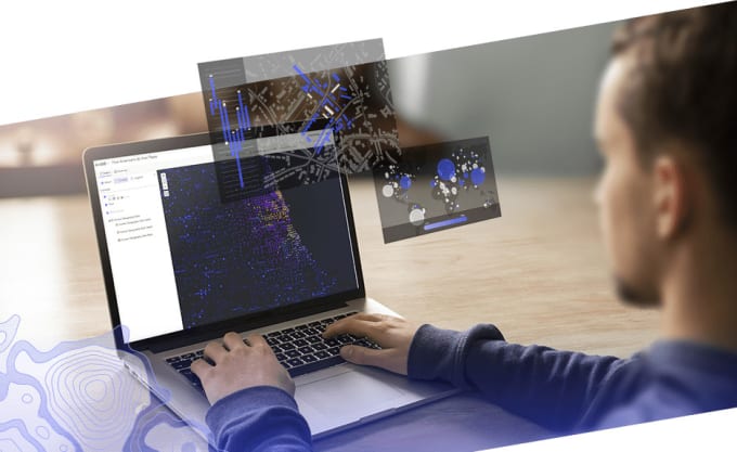
As a GIS Developer at URIMPACT, I designed and built three full-stack geospatial applications that turned environmental and location data into actionable tools, primarily using the PERN stack (PostgreSQL, Express, React, Node.js). The first was a greenhouse gas (GHG) emissions platform that allowed users to track and visualize emissions data. I developed it end-to-end and deployed it on AWS for scalability and reliability. The second was a tree plantation application built to support reforestation and monitoring efforts. I integrated Google Earth Engine for satellite and geospatial analysis and implemented a machine learning model that automatically counts trees from imagery, removing the need for manual counting and improving accuracy. The third was a client-facing dashboard that lets clients view tree-count results and monitor progress over time. It included a user management system for handling access, roles, and secure data viewing. Across all three projects, I worked on both the front-end and back-end, managed spatial data, integrated mapping and remote-sensing tools, and delivered solutions aligned with URIMPACT's environmental impact mission.
| (14) | ||
| (1) | ||
| (0) | ||
| (0) | ||
| (0) |

voyagersystem

Pays-Bas
Working with Kashif has been a great experience from start to finish. He is highly professional, communicates clearly, and always takes the time to fully understand the requirements before implementing them. Throughout the project, he was patient, responsive, and genuinely committed to delivering the...
13 jours
Durée
Applications de bureau
Réponse du freelance

jesseplautz

États-Unis

nomisai
Client récurrent

Australie
Our task needed some solves that were not straight foward in both timing and technical. Kashif's expertise and helpfulness made the whole experience seamless. Highly recommend.
2 semaines
Durée
Applications de bureau
nomisai
Client récurrent
Australie
stev_california
États-Unis

