Certaines informations sont présentées en anglais.
À propos de moi
Hello,
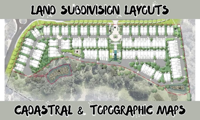
I'm Lauren, a professional land surveyor with years of experience providing accurate and reliable survey support for planning, design, and development projects. I work with tools such as ArcMap (ArcGIS), Google Earth, QGIS, AutoCAD, Global Mapper, and Civil 3D to prepare clear maps, layouts, and spatial data for informed decision-making. My focus is on precision, consistency, and delivering survey outputs that meet project requirements and industry standards.
Please share your project details, and I will be glad to assist you.... Plus d’infos