Je vais faire de la cartographie GIS, de la cartographie et de l’analyse géospatiale

M
matarlafrougui
M
matarlafrougui
Matar L
Certaines informations ont été traduites automatiquement.

À propos de ce service

Traduction automatique

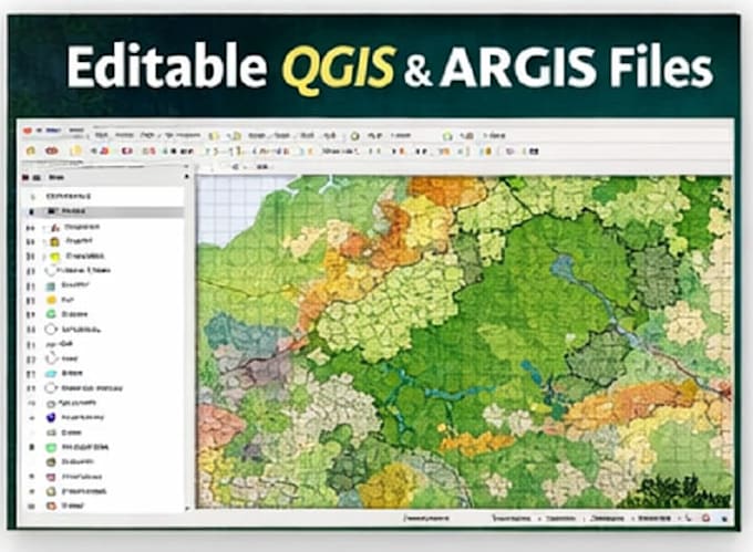
Je fournirai une cartographie GIS professionnelle, de la cartographie et de l’analyse spatiale en utilisant QGIS et ArcGIS pour des projets environnementaux, forestiers, d’utilisation des sols et de planification.

Je suis un ingénieur forestier spécialisé en GIS et cartographie, avec une solide expérience dans la création de cartes précises, claires et prêtes à la décision à partir de données spatiales.

Services inclus

  • Cartographie GIS utilisant QGIS & ArcGIS
  • Cartographie (cartes thématiques, utilisation des sols, cartes forestières)
  • Analyse spatiale (buffer, superposition, aptitude, classification)
  • Mise en page et visualisation de cartes (design professionnel)
  • Traitement de données (Shapefile, GeoJSON, KML, GeoTIFF)
  • Cartographie et visualisation avec Google Earth

Idéal pour

  • Études forestières et environnementales
  • Planification de l’utilisation des sols
  • Agriculture et ressources naturelles
  • Projets de recherche et académiques

Veuillez me contacter avant de commander pour examiner vos données et besoins de projet.

Découvrez Matar L

Matar L

Forest Engineer : GIS, Cartography and Photogrammetry

  • DeMaroc
  • Membre depuisjanv. 2026
  • Temps de réponse moy.1 heure
  • Dernière commande2 mois
  • Langues

    Anglais, Français
I’m a Forest Engineer specialized in GIS, Cartography, and Geospatial Analysis, with strong experience in spatial data processing, mapping, and environmental analysis. What I do best: GIS analysis and cartography using QGIS & ArcGIS Spatial data visualization and mapping with Google Earth Object detection & analysis using YOLO for geospatial and drone data Photogrammetry & 3D mapping using Pix4D, Agisoft Metashape, and DJI Terra Processing drone imagery (orthomosaics, DEMs , point clouds) Forest, land-use, and environmental mapping projects

Traduction automatique