Parcourir les catégories
Explorer
Fiverr Pro
Français
$
USD


Welcome to my GIS and Remote Sensing service!
I will create professional GIS maps and perform spatial analysis using ArcGIS, QGIS, and Remote Sensing techniques.
My services include:
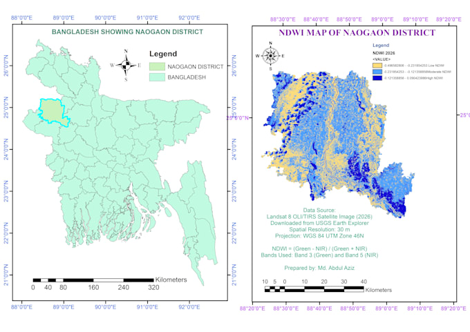
NDVI (Normalized Difference Vegetation Index) Mapping
NDWI (Normalized Difference Water Index) Mapping
Land Use/Land Cover (LULC) Classification
Flood Risk and Hazard Mapping
Environmental and Climate Change Analysis
Spatial Analysis and Geoprocessing
Raster and Vector Data Processing
Cartographic Map Design
GIS Data Visualization
What you will get:
High-quality GIS maps
PDF, PNG, and JPEG outputs
ArcGIS/QGIS project files (if required)
Professional map layouts
Accurate spatial analysis
Why choose me?
Attention to detail
Timely delivery
Professional communication
Reliable GIS solutions
Please contact me before placing an order to discuss your project requirements.
Specialized in Study Area Mapping and Environmental Analysis
Langues
What data do I need to provide?
You can provide shapefiles, satellite imagery, coordinates, study area boundaries, or project requirements.
Can you create NDVI and NDWI maps?
Yes, I can create NDVI, NDWI, vegetation analysis, and water body analysis maps using satellite imagery.
What file formats will I receive?
You will receive PDF, PNG, JPEG, and other GIS formats based on your requirements.