Expert GIS and Remote Sensing, Accurate, Insightful, Professional
Kenya
Anglais
Certaines informations sont présentées en anglais.
À propos de moi
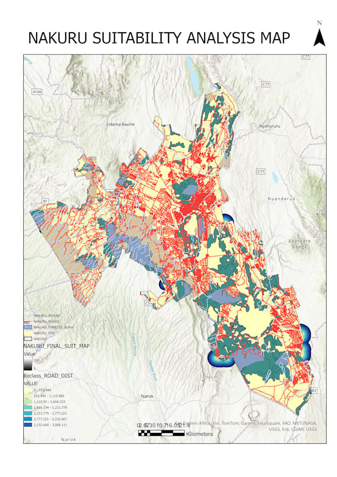
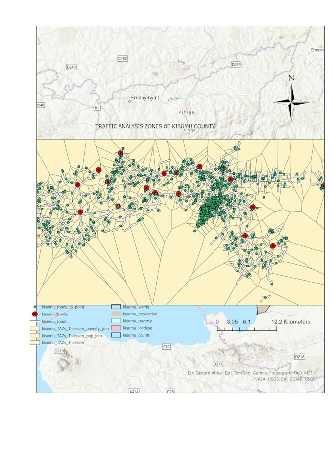
I am a GIS and Remote Sensing specialist with expertise in spatial analysis, urban growth modeling, environmental mapping and anything else dealing with geospatial data With experience in ArcGIS Pro and QGIS, I provide high-quality geospatial analysis, land use classification, and visualization solutions.
Whether you need satellite image processing, spatial database creation, or detailed GIS mapping, I ensure accurate and insightful results tailored to your needs. Let’s work together to turn complex spatial data into meaningful insights!... Plus d’infos