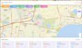
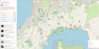
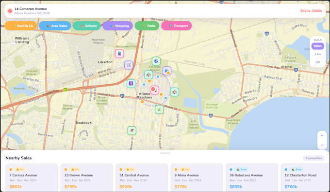
I will create professional gis maps, webmaps and spatial analysis

M
mike_ess
M
mike_ess
Michael G
Certaines informations sont présentées en anglais.

À propos de ce service

I provide professional GIS mapping, spatial analysis, and interactive web mapping using ArcGIS Pro, QGIS, Leaflet.js, and Survey123. Whether you need a quick map output, a deep spatial analysis, or a fully deployable web app choose the package that fits your project scope. Message me before ordering and I'll make sure you're on the right tier.


What I can help with:

  • Custom GIS map creation (Webapp both mobile/browser based)
  • Spatial analysis (buffer, overlay, suitability & site selection analysis)
  • Data conversion (SHP, KML, GeoJSON, CAD)
  • Data cleaning, geocoding, and spatial data preparation
  • Survey123 form design and setup (basic workflows)
  • GIS project planning and workflow support
  • Map outputs for reports, presentations, and decision-making

Perfect for:

  • Planning and project scoping work
  • Small GIS analysis tasks
  • Early-stage development or feasibility mapping
  • Data preparation and organisation
  • Project

You will receive:

  • Clear, accurate GIS maps an

Découvrez Michael G

Michael G

Senior GIS Data Analyst Australia

  • DeAustralie
  • Membre depuisnov. 2025
  • Temps de réponse moy.3 heures
  • Langues

    Anglais
Australian Senior GIS & Data Analyst with experience across government sectors, local government, engineering consultancy, environmental work and property. I build custom web maps, interactive story maps, and spatial data tools using , ArcGIS (Esri suite), QGIS, Leaflet.js and more. Outside my day job I run Echidna Spatial Solutions — a boutique GIS consultancy delivering bespoke spatial web apps for property, tourism, and beyond. I hold a BSc in Geospatial Science (Honours) and love making GIS work accessible to businesses that wouldn't normally have it.