Certaines informations sont présentées en anglais.
À propos de moi
I’m a skilled GIS and Remote Sensing expert with hands-on experience in geospatial analysis, satellite image processing, and map creation. I specialize in tools like ArcGIS, QGIS, Google Earth Engine, ERDAS Imagine, ENVI, and Python to deliver precise and insightful geospatial solutions.
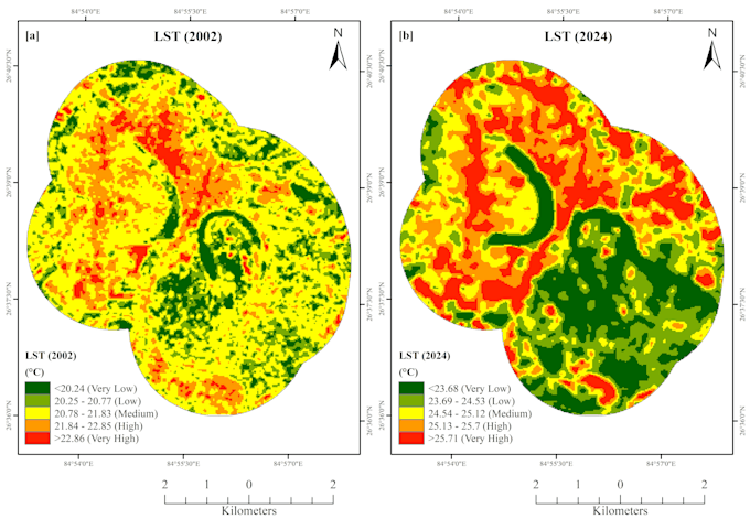
My services include Land Use/Land Cover (LULC) mapping, change detection, NDVI/NDBI/MNDWI/LST analysis, urban heat island studies, terrain modeling, and hydrological analysis using DEMs. I also offer data digitization, georeferencing, and spatial database creation.... Plus d’infos