Parcourir les catégories
Explorer
Fiverr Pro
Français
$
USD
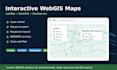
I will build an interactive WebGIS map using Leaflet, JavaScript, HTML, CSS, PostGIS, and GeoServer depending on your project requirements.
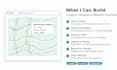
My services may include:
- Interactive Leaflet web map
- Layer control and map legend
- Popup information display
- Search and filter functions
- GeoJSON, WMS, or WFS layer display
- Publishing spatial data through GeoServer
- Preparing PostGIS-ready spatial data
- Responsive layout for desktop and mobile
- Clean web files and basic documentation
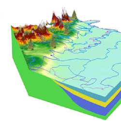
This gig is suitable for environmental data, water resources, groundwater, monitoring stations, infrastructure, land use, administrative boundaries, and technical GIS projects.
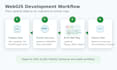
Please contact me before ordering because WebGIS projects depend on your data format, hosting environment, database, GeoServer setup, and required functions.
Water Resources GIS and WebGIS Developer
Langues
What do I need to provide?
Please provide your spatial data, required layers, preferred functions, map style, output expectations, and information about your hosting, database, or GeoServer environment if available.
Can you work with PostGIS and GeoServer?
Yes. I can help prepare PostGIS-ready data, publish layers through GeoServer, and connect them to a Leaflet-based WebGIS map.
Can you build a WebGIS from GeoJSON files?
Yes. I can build a simple interactive WebGIS using GeoJSON layers, Leaflet, HTML, CSS, and JavaScript.
Will the map work on mobile?
Yes. I can create a responsive layout that works on desktop, tablet, and mobile screens depending on the package and requirements.
Should I contact you before ordering?
Yes. Please message me before ordering so I can review your data, required functions, hosting environment, and delivery time.


