Parcourir les catégories
Explorer
Fiverr Pro
Français
$
USD



Traduction automatique
Traitement professionnel de photogrammétrie par drone pour créer des orthomosaïques précises, des MNT, des nuages de points, des contours et des produits cartographiques prêts pour SIG.
Drone Survey, GIS and Remote Sensing Specialist
Langues
Traduction automatique
Traduction automatique
Quels drones supportez-vous ?
DJI Mavic, Phantom, Matrice, Wingtra, Autel et autres systèmes de UAV. Je peux également traiter des images capturées avec des flux de travail RTK ou PPK.
Quel logiciel utilisez-vous ?
Pix4D, Agisoft Metashape, DJI Terra, QGIS, ArcGIS Pro et CloudCompare en fonction des besoins du projet.
Quels résultats pouvez-vous fournir ?
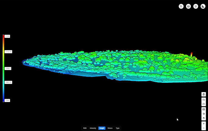
Orthomosaïques, MNT, MNS, MNT, nuages de points (LAS/LAZ), contours, GeoTIFF, SHP, GeoJSON, KML et mises en page de cartes PDF.
Pouvez-vous traiter des données LiDAR ?
Oui. Je traite les nuages de points LAS et LAZ, je classe les points au sol et hors sol, je génère des modèles de terrain et je produis des livrables prêts pour SIG.