n
nawazali99

Nawaz A

@nawazali99

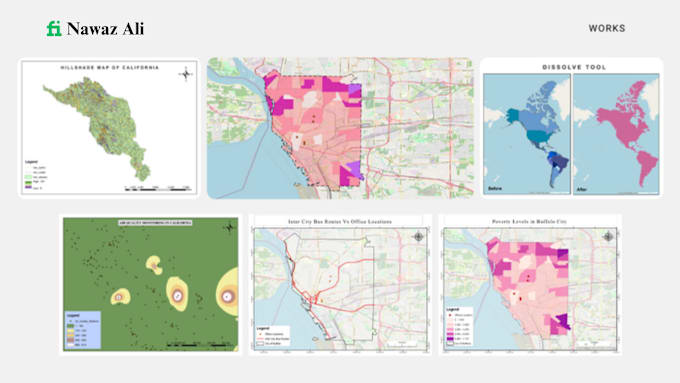
Gis Analyst, Gis Mapping, Cartographer

Pakistan
Anglais, Ourdou, Hindi
Certaines informations sont présentées en anglais.
À propos de moi
Hi! My name is Nawaz Aly. I possess over 4+ years of experience in the field of Geographic Information System(GIS) and Remote Sensing(RS). I have extensive experience in geospatial data acquisition and creation, cartographic presentations (Maps), analysis using model builder, geodatabase design and management, land use and zoning maps, routing/network analysis and modelling, statistical analysis, geoprocessing, and image processing.... Plus d’infos

Compétences

n
nawazali99
Nawaz A
hors ligne • 
Temps de réponse moyen de 3 heures

Voir mes services

Système d'information géographique (SIG)
I will do gis mapping using qgis and arcgis
Système d'information géographique (SIG)
I will do gis mapping, digitizing, georeferencing, parcel editing

Expérience professionnelle

Gis Analyst

AsiaDevs.pk • Temps plein

Dec 2024 - Apr 20254 mos

I worked as a GIS Analyst at AsianDevs Pvt. Ltd., where I gained valuable experience in Geographic Information Systems (GIS) and Remote Sensing (RS). During my time there, I worked on different GIS projects, learned how to analyze spatial data, create maps, and use satellite imagery for various analyses. This experience helped me improve my technical skills in GIS software and better understand how spatial data can be used for decision-making and real-world applications.