Parcourir les catégories
Explorer
Fiverr Pro
Français
$
USD


Traduction automatique
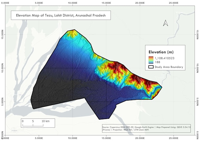
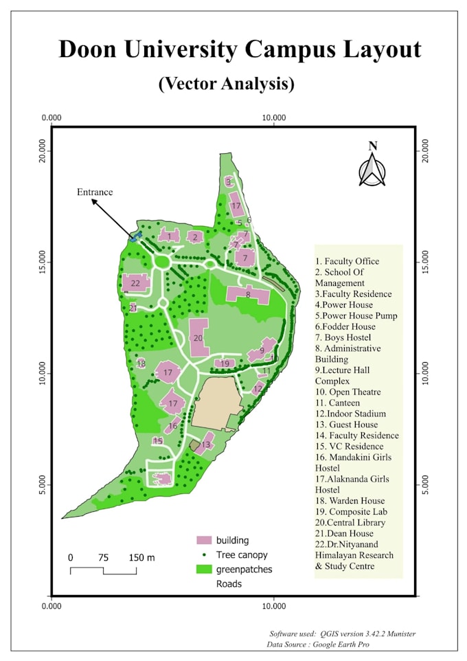
Je suis analyste géospatial spécialisé dans la cartographie GIS, la télédétection et les applications de SIG.
Je peux créer :
Les livrables incluent :
Veuillez me contacter avant de commander des projets GIS complexes ou de grande envergure.
GIS Analyst
Langues
Traduction automatique
Traduction automatique
Quel logiciel utilisez-vous?
J’utilise ArcGIS, QGIS et d’autres outils géospatiaux en fonction des exigences du projet.
Quels formats de fichiers vais-je recevoir ?
Fichiers PNG et PDF. Les fichiers sources peuvent être fournis sur demande.
Pouvez-vous créer des cartes à partir de mes données ?
Oui, je peux créer des cartes en utilisant des shapefiles, GeoJSON, CSV, KML et d’autres formats de données GIS.
De quoi avez-vous besoin de ma part pour commencer ?
Veuillez fournir votre zone d’étude, vos exigences de projet, les fichiers de données (si disponibles) et le format de sortie préféré.