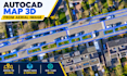
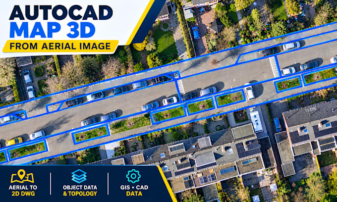
Je convertirai des images aériennes en carte AutoCAD Map 3D DWG

O
oishi_74
O
oishi_74
Oishi
Certaines informations ont été traduites automatiquement.

À propos de ce service

Traduction automatique

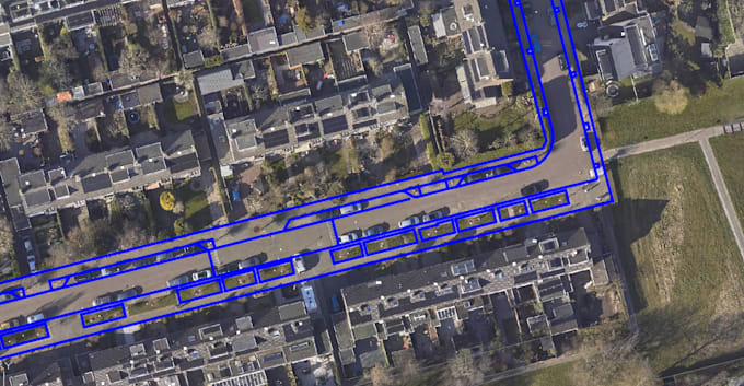
Je convertirai des images aériennes et satellitaires en dessins AutoCAD Map 3D DWG propres, incluant la cartographie des routes, les emplacements des bâtiments, les parcelles, la géoréférenciation et la préparation des données GIS.

Découvrez Oishi

Oishi

Specialized GIS and CAD

  • DeBangladesh
  • Membre depuisoct. 2026
  • Temps de réponse moy.1 heure
  • Langues

    Anglais
Hello! I’m a GIS & CAD Mapping Specialist with 5+ years of experience in aerial imagery mapping, geospatial data processing, and QA/QC. I specialize in AutoCAD Map 3D and QGIS, offering building footprint digitization, road and parking mapping, parcel and boundary mapping, DWG georeferencing, Object Data Tables, topology setup, GIS data conversion, and spatial data validation. I focus on accuracy, clean data organization, and professional deliverables in DWG, DXF, SHP, KML/KMZ, and GeoJSON formats. Message me to discuss your GIS or CAD project!

Traduction automatique