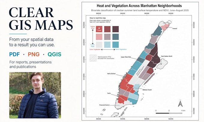
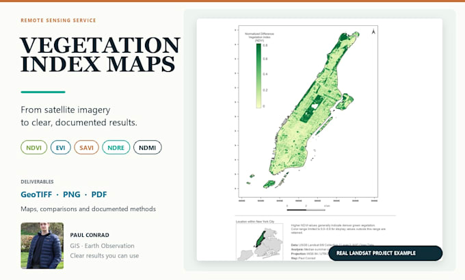
From raw spatial data to results you can understand and use
Allemagne
Anglais, Allemand
Certaines informations sont présentées en anglais.
À propos de moi
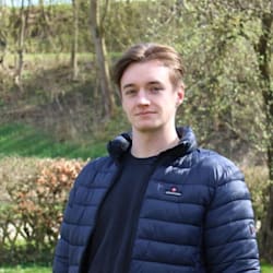
Hi, I'm Paul, an independent geospatial data specialist working across GIS, Earth observation, spatial analysis, and machine learning. With a background in Computer Science and an ongoing Master's in Environmental Informatics, I turn complex spatial data into clear, documented, and reusable results. I focus on transparent methods, realistic project scopes, clear communication, and deliverables you can understand and continue using.... Plus d’infos