Professional Land Survey Site Plan Boundary Topographic and Geodetic Plans
États-Unis
Anglais
Certaines informations sont présentées en anglais.
À propos de moi
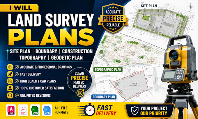
Need accurate and professional land survey drawings? I will create detailed site plans, boundary surveys, construction layouts, topographic maps, and geodetic plans for residential, commercial, and engineering projects. I deliver clear, precise, and high-quality CAD drawings based on your measurements, sketches, GPS data, or survey reports. Whether you need permit-ready plans, contour mapping, subdivision layouts, or construction staking support, I ensure fast delivery, accuracy, and excellent communication to meet your project requirements with complete satisfaction. Available worldwide 24/7... Plus d’infos