Certaines informations sont présentées en anglais.
À propos de moi
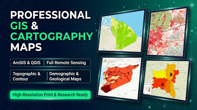
I am a professional GIS & Remote Sensing Specialist, Cartographer, and Graphic Designer. I create all types of high-resolution spatial and thematic maps using ArcGIS & QGIS, including Topographic, Contour (DEM), Geological, Climatic, Demographic (Population Density), and Full Remote Sensing / Satellite Image Analysis (LULC, NDVI, NDWI, LST, Classification, and Change Detection). I also design high-converting social media posters, logos, and marketing visuals using Canva Pro, and provide 2D/3D LiDAR & Lane Data Annotation for AI projects.
... Plus d’infos