r
rohma_shak00r

Rohma Shakoor

@rohma_shak00r

GIS and Remote sensing Specialist , ArcGIS , QGIS , Google Earth Engine

Pakistan
Anglais, Ourdou
Certaines informations sont présentées en anglais.
À propos de moi
Hi! I'm Rohma, a GIS & Remote Sensing specialist with a Bachelor's degree in Space Science. I specialize in GIS mapping, spatial analysis, satellite image processing, Google Earth Engine, ArcGIS, QGIS, Python, and Blender. My services include LULC classification, flood mapping, NDVI analysis, DEM & terrain analysis, georeferencing, digitization, cartography, and 3D terrain visualization. I deliver accurate, high-quality geospatial solutions with clear communication and on-time delivery.... Plus d’infos

Compétences

r
rohma_shak00r
Rohma Shakoor
hors ligne • 
Temps de réponse moyen de 1 heure

Voir mes services

Système d'information géographique (SIG)
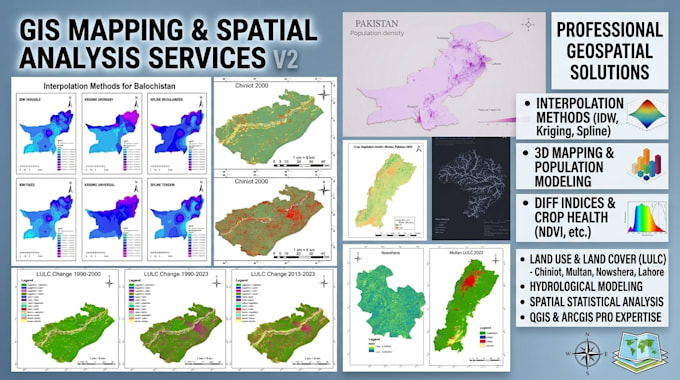
I will do gis mapping, google earth engine scripting and rs change detection
Système d'information géographique (SIG)
I will do flood risk mapping using hand dem and hydrology in qgis

Portfolio

Expérience professionnelle

Pulse

GIS analyst Intern

Pulse • Temps plein

Jun 2025 - Aug 20252 mos

During my internship at City Survey, I worked on cadastral mapping (digitization) and road mapping projects using GIS tools. My responsibilities included digitizing land parcels, updating spatial datasets, and ensuring map accuracy for urban planning and land management applications. Through this experience, I developed a strong understanding of geospatial data handling, vector editing, and spatial accuracy verification — strengthening both my technical and analytical skills in real-world GIS workflows.