Certaines informations sont présentées en anglais.
À propos de moi
Hi! I’m a Remote Sensing & GIS Specialist with a Master’s degree in Remote Sensing & GIS Applications. I have hands-on expertise in tools like ArcGIS, ENVI, ERDAS Imagine, and SNAP, and over the years, I’ve worked on satellite image preprocessing & analysis.
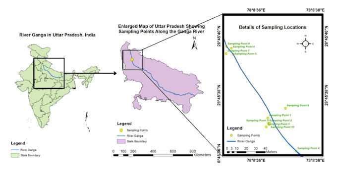
I specialize in creating high-quality GIS maps and spatial analysis without the need for coding. Whether you’re a researcher, student, urban planner, or environmental consultant, I’m here to help you turn raw geospatial data into meaningful, accurate results.
Let’s collaborate to bring clarity and precision to your spatial data needs!
... Plus d’infos