Certaines informations sont présentées en anglais.
À propos de moi
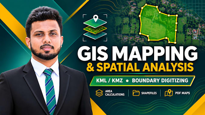
GIS and Remote Sensing professional with practical experience in geospatial data processing, spatial analysis, and map production. I provide KML/KMZ creation, boundary digitizing, GPS mapping, area calculations, Shapefile/GeoJSON conversion, NDVI and satellite imagery analysis, and DEM/contour mapping. Skilled in ArcGIS, ArcMap, and Google Earth Pro. I hold a BSc (Hons) in Surveying Sciences, specializing in Remote Sensing, and am currently pursuing an MSc in Remote Sensing and GIS. I focus on clear communication and reliable deliverables.... Plus d’infos