Je vais analyser des données géospatiales et créer des visualisations

S
serrayos
S
serrayos
Serra Y.
Certaines informations ont été traduites automatiquement.

À propos de ce service

Traduction automatique

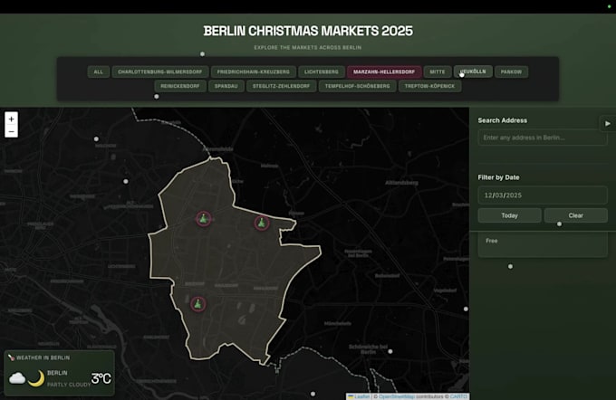
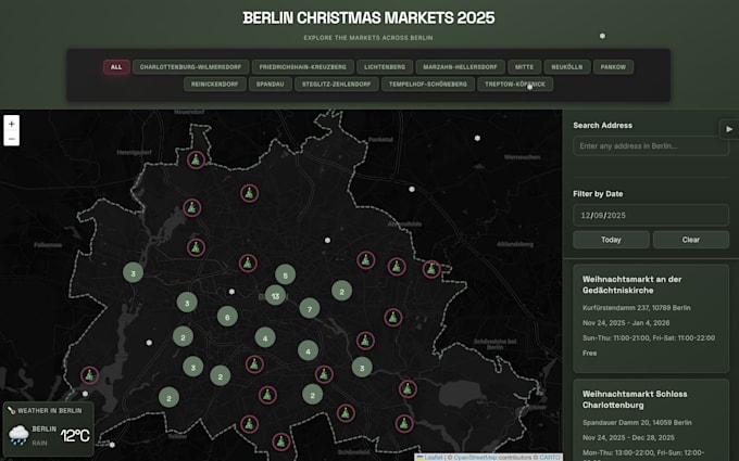
Tableau de bord interactif du marché de Noël conçu et réalisé une carte web interactive présentant les emplacements des marchés de Noël, les informations sur les vendeurs et les visiteurs. Montre une expertise en cartographie web interactive, conception d’expérience utilisateur et visualisation géospatiale.

Découvrez Serra Y.

Serra Y.
  • DeAllemagne
  • Membre depuisoct. 2025
  • Langues

    Turc, Anglais, Allemand
I’m a Geospatial Data Scientist with 5+ years of experience at the German Aerospace Center (DLR) where I worked on cutting-edge projects involving GIS and Earth observation data for sustainable mobility and climate tech. I specialize in turning complex spatial datasets into clear, actionable insights helping researchers, startups and organizations make smarter geospatial decisions. My expertise includes: 🤖 AI for geospatial data (Python: geopandas, pandas, numpy, GDAL, skit-learn) 📊 Data visualization & interactive dashboards (Folium, Plotly, Streamlit, Kepler, MapLibre)

Traduction automatique

Mon portfolio

Balises associées