Certaines informations sont présentées en anglais.
À propos de moi
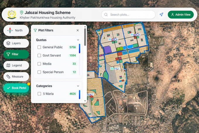
I am a GIS and Remote Sensing specialist with expertise in WebGIS development, hydrological modeling, and geospatial analysis. I develop interactive WebGIS applications, dynamic mapping dashboards, and custom web maps using React.js, Leaflet, Mapbox, GeoServer, and PostGIS.
My services also include GIS mapping, satellite image analysis, watershed delineation, flood hazard mapping, and hydrological modeling using HEC-RAS, HEC-HMS, and SWAT.
I am passionate about transforming geospatial data into meaningful insights and practical solutions. ... Plus d’infos