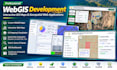
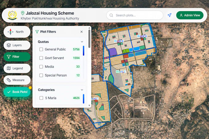
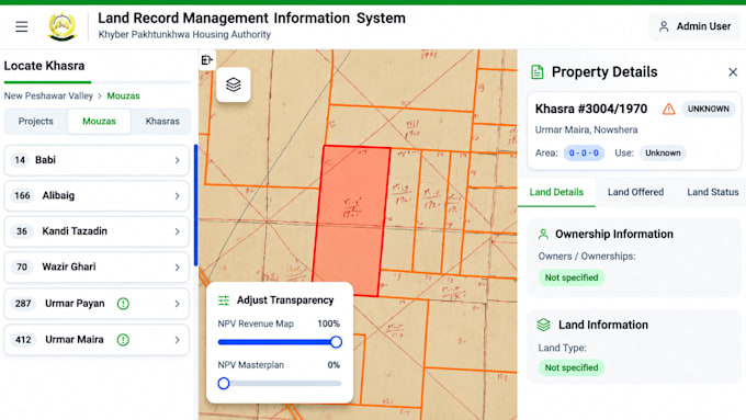
Je créerai des cartes webgis dynamiques et des applications gis interactives

S
sulaiman45599
S
sulaiman45599
Sulaiman
Certaines informations ont été traduites automatiquement.

À propos de ce service

Traduction automatique

Besoin de cartes GIS professionnelles ou d’applications WebGIS interactives ?

Je développerai des applications WebGIS dynamiques, réactives et conviviales, adaptées à vos besoins de projet.

En tant que spécialiste GIS et télédétection, je propose des solutions géospatiales professionnelles utilisant les technologies de cartographie modernes.

Mes services :

  • Applications WebGIS personnalisées
  • Cartes Web interactives et tableaux de bord
  • Cartographie GIS et visualisation spatiale
  • Leaflet, Mapbox et ArcGIS Online
  • Intégration GeoServer (WMS/WFS)
  • Intégration de Shapefile, GeoJSON, KML et CSV
  • Contrôle de couches GIS, recherche et popups
  • Intégration PostgreSQL/PostGIS

Technologies : React.js, JavaScript, Leaflet, Mapbox, GeoServer, PostGIS, QGIS et ArcGIS Pro.

Transformons vos données spatiales en cartes interactives puissantes !

Contactez-moi avant de passer commande pour discuter de votre projet.

Découvrez Sulaiman

Sulaiman

WEBGIS and Hydrology Expert

  • DePakistan
  • Membre depuisdéc. 2020
  • Temps de réponse moy.1 heure
  • Langues

    Pachto, Ourdou, Anglais, Français
I am a GIS and Remote Sensing specialist with expertise in WebGIS development, hydrological modeling, and geospatial analysis. I develop interactive WebGIS applications, dynamic mapping dashboards, and custom web maps using React.js, Leaflet, Mapbox, GeoServer, and PostGIS. My services also include GIS mapping, satellite image analysis, watershed delineation, flood hazard mapping, and hydrological modeling using HEC-RAS, HEC-HMS, and SWAT. I am passionate about transforming geospatial data into meaningful insights and practical solutions.

Traduction automatique

Mon portfolio

Balises associées