Je réaliserai une cartographie GIS, une analyse spatiale avancée ou des solutions de télédétection

T
talalsaleem29
T
talalsaleem29
Talal Ahmed
Certaines informations ont été traduites automatiquement.

À propos de ce service

Traduction automatique

Bienvenue ! Vous recherchez une cartographie GIS professionnelle, une analyse spatiale avancée ou des solutions de télédétection ? Vous êtes au bon endroit !

Je suis un analyste géospatial spécialisé dans la transformation de données spatiales complexes en cartes claires, analyses exploitables et applications web.

Services que je propose :

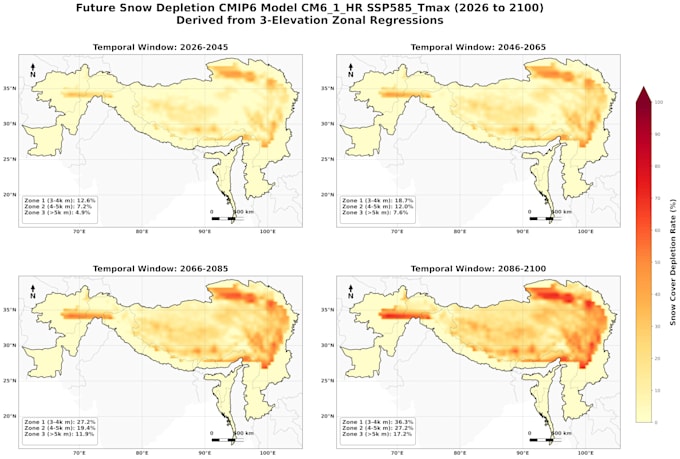
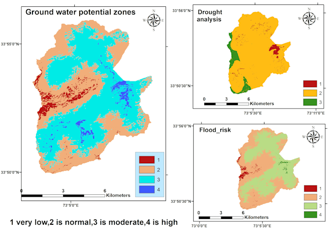
  • Cartographie GIS & Topographie : Mise en page personnalisée, numérisation, analyse de buffer et sélection de sites avec ArcGIS Pro & QGIS.
  • Télédétection & Analyse satellite : Classification d’images (LULC), NDVI/NDWI, LST et détection de changements avec Google Earth Engine & Landsat/Sentinel.
  • Modélisation spatiale : Hydrologie, évaluation du risque d’inondation et évaluation multicritère.
  • Solutions WebGIS : Tableaux de bord interactifs avec Leaflet, JavaScript et GeoServer.
  • Automatisation GIS : Scripts Python personnalisés (ArcPy, Pandas, Xarray) pour le traitement des données.

Logiciels & outils : ArcGIS Pro, QGIS, Google Earth Engine, PostGIS, Python, Leaflet, GeoServer.

Pourquoi me choisir ?

  • Travail précis et détaillé
  • Livraison rapide et communication claire
  • Soutien complet au client

Veuillez me contacter avant de passer commande pour discuter de vos besoins.

Découvrez Talal Ahmed

Talal Ahmed

GIS expert

  • DePakistan
  • Membre depuisaoût 2026
  • Temps de réponse moy.1 heure
  • Langues

    Ourdou, Anglais
I am Talal Ahmed, a Geospatial Specialist & Remote Sensing graduate from the University of Gujrat, Pakistan. I specialize in turning complex spatial data into accurate maps, automated workflows, and interactive web tools. My Core Services:GIS Analysis & Cartography: Spatial modeling, LULC, flood risk, and LST analysis using ArcGIS Pro & QGIS. Remote Sensing: Satellite imagery processing & GEE scripts. Spatial Automation: Custom Python & JavaScript programming. WebGIS: Interactive dashboards using Leaflet, PostGIS, & GeoServer

Traduction automatique