Je vais développer des applications web GIS évolutives en utilisant Python et JavaScript

T
talhawaheed254
T
talhawaheed254
Talha W
Certaines informations ont été traduites automatiquement.

À propos de ce service

Traduction automatique

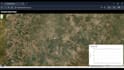
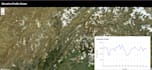
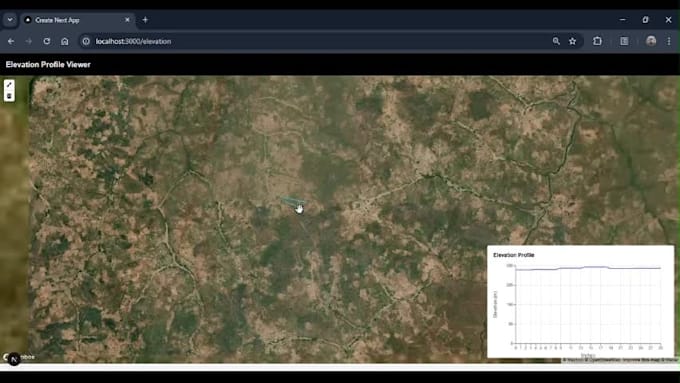
Je suis Talha Waheed, un développeur certifié en GIS et Python avec plus de 3 ans d’expérience dans FastAPI, Mapbox, Leaflet, ArcGIS et QGIS. Je crée des applications web GIS rapides, évolutives et des tableaux de bord géospatiaux en utilisant des outils et frameworks modernes.

Services

  • Applications WebGIS avec Mapbox, Leaflet, API Google Maps
  • APIs de données spatiales avec FastAPI et PostGIS
  • Numérisation, géoréférencement, intégration satellite et télédétection
  • Analyse spatiale, outils démographiques
  • Flux de données GIS en temps réel avec Firebase, MongoDB, PostgreSQL

Technologies

Python, SQLAlchemy, Arcpy, Docker, Swagger, FastAPI

PostgreSQL/PostGIS, Firebase, MongoDB

ArcGIS Pro, QGIS, Google Earth Engine

Cas d’usage

Villes intelligentes, environnement, intelligence de localisation, tableaux de bord

Livrables

Application GIS complète frontend/backend, documentation, Docker, prête à déployer


Discutons de vos besoins et construisons votre application web GIS évolutive, contactez-moi dès aujourd’hui !

Découvrez Talha W

Talha W

Python for geospatial, data, and API solutions

  • DePakistan
  • Membre depuissept. 2022
  • Temps de réponse moy.1 heure
  • Langues

    Ourdou, Hindi, Anglais
I’m a Geoinformatics Engineer with expertise in FastAPI, Python, GIS, and data science. I specialize in developing intelligent APIs, interactive dashboards, and satellite data processing tools. With a strong foundation in machine learning, cloud platforms, and visualization, I help turn raw data into actionable insights. Let’s build something impactful together!

Traduction automatique