Certaines informations sont présentées en anglais.
À propos de moi
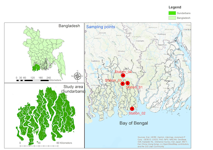
I am a GIS and Spatial Data Analyst specializing in geospatial data processing, spatial analysis, and professional mapping using ArcGIS and R. I have been working with spatial data for about 4 years. I transform raw geographic data into accurate, publication-ready maps for research, academic, environmental, and professional projects. I am highly flexible in ArcMap and handle various GIS data processing tasks with accuracy and efficiency. I focus on delivering clean maps and clear spatial insights. Feel free to contact me before ordering.
... Plus d’infos