Parcourir les catégories
Explorer
Fiverr Pro
Français
$
USD

subdivision map illustration
Compétences
Voir mes services

Senior Map Designer & GIS Illustration Specialist
designplus.studio • Indépendant
Jul 2026 - Present • 0 mos
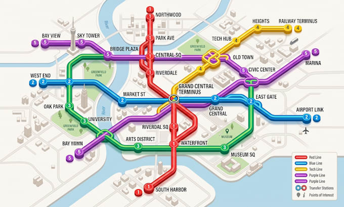
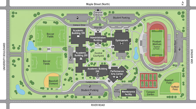
As a Professional Map Designer, I specialize in creating custom vector illustration maps, 3D isometric maps, city maps, subdivision plans, RV park maps, campground layouts, tourist maps, resort maps, and permit-ready site plans for clients across various industries. My work combines technical accuracy with visually engaging design to produce maps that are both functional and attractive for print and digital applications. I work closely with real estate developers, architects, engineers, property managers, tourism organizations, municipalities, event planners, and business owners to transform concepts, sketches, satellite imagery, and survey data into high-quality custom maps. Every project is tailored to the client's requirements, ensuring clear layouts, accurate labeling, logical navigation, and professional presentation. My expertise includes designing subdivision layouts, parcel maps, cadastral maps, land development plans, property maps, wayfinding systems, neighborhood maps, campground directories, RV resort layouts, hiking trail maps, resort guides, and commercial location maps. I also create modern 3D isometric illustrations that showcase communities, parks, recreational facilities, and business developments from an engaging perspective. Using professional tools such as Adobe Illustrator, AutoCAD, and GIS-based workflows, I deliver scalable vector files suitable for brochures, websites, signage, presentations, permit applications, marketing materials, and large-format printing. Every design is produced with careful attention to detail, consistency, readability, and branding. I am committed to delivering accurate, creative, and high-quality mapping solutions while maintaining excellent communication, meeting deadlines, and ensuring complete client satisfaction. My goal is to help every client present their location, development, or project with a professional map that is informative, visually appealing, and built to the highest industry standards.
